Exploring Trails in the Copper Canyon
400 MILES IN THE SIERRA MADRE, more or less;
|
| Itinerary | Route | Resupply | Support | Sponsors |
TRAIPSING THE SPINE OF THE CONTINENT
 |
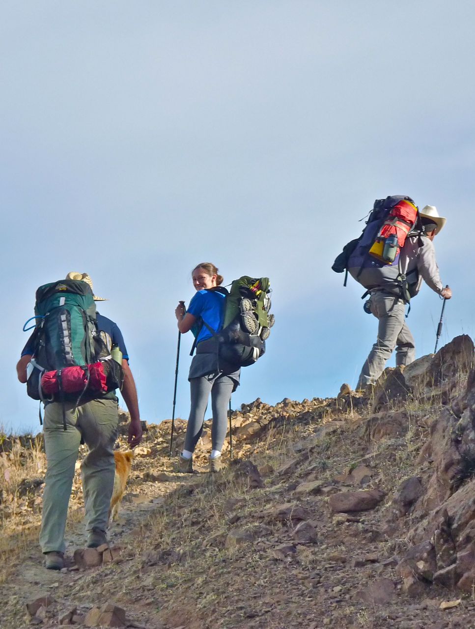
The timing is perfect for our trek through the Sierras of Sonora and Chihuahua. We normally have a fall season in our guiding business, but business has been slow of late. Nevertheless, we miss our friends in the area and instead of driving down for a short visit, we thought we would walk on down and sit for a spell, without having to rush off. We constantly maintain a list of exciting hikes and interesting places in the area that sustains us through the off-season, and as spring inexorably brings new bud to trees, the end of monsoons draws us to the canyon country like moths to a flame.
The purpose of the trek is more difficult to define because there are so many reasons. We hope to raise awareness of the indigenous culture of the region. The Sierra Madre Occidental is home to indigenous tribes like the Pima Alta, Yaqui, maybe remnants of Opata, although we think all that currently exists are words in the local dialect, and the Tarahumara. There are also enclaves of Mennonite, Mormon, ex-patriot Americans, and old world European miners. Just look at the overgrown cemeteries of towns with faded glory, and you realize just how many old Welsh, French and English names are scattered about. To this day, most of that European influence can only be seen in anachronistic architecture like balconies and wrought ironwork.
We're looking forward to meeting the locals who endeavor to make a living in a harsh environment. These remote mountains are home to a hardy and fiercely independent group of people. They can live off the land. The serranos have more in common with their indigenous cousins than their "civilized" brethren in the cities. They build their houses with what nature has to offer- mud adobe, pine vigas, cedar shake roofing. They cure their ailments the same way. They take what they need, but ever aware of tomorrow, they leave a little for later. They've been here for 500 years so that says something about their sustainability.
This is a region where some folks still practice subsistence gold mining. They make roofing shingles with very little of the trappings that civilization utilizes and discards. There is wildcat logging, and a competitive
 |
Week One: Rancho Calabozo to Tutuaca, Chihuahua
Leaving the ranch, our first obstacle is crossing the Rio Aros. Then onwards, south and east, towards the mine at Dolores, Rancho El Nogal, and the village of Tuatuaca. We expect to see thick-billed parrots and a Mogollon-culture pictograph site.
Follow our progress, or hike it on your own.
Badesi
Tecoriname El Yerbaniz El Refugio Chabacan San Antonio ? Tutuaca
H12D36
H12D37 H12D38 H12D48 H12D58 H12D68 H12D69 H12D79
1:50,000
1:50,000 1:50,000 1:50,000 1:50,000 1:50,000 1:50,000 1:50,000 |
Week Two: Tutuaca to Cascada Basaseachi
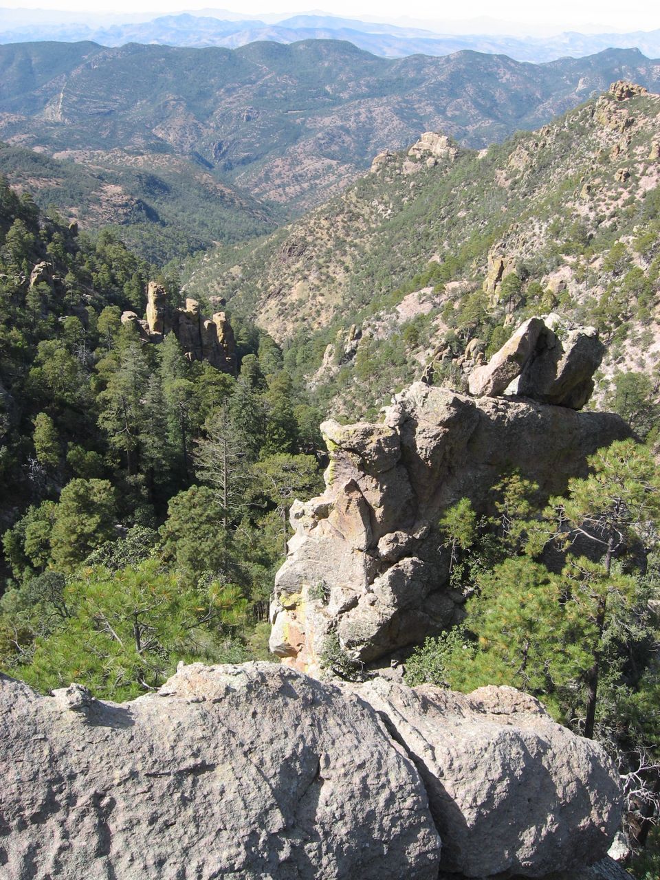
Steep canyons, and high ridges: several cordilleras to cross before arriving at Barranca Candameña, home to Mexico's highest and 3rd highest waterfalls. If in the area make it a point to visit Cascada Basaseachi at 840 feet (240M) and Cascada Piedra Volada (1200 ft/370M).Week Three: Cascada Basaseachi to Cabanas Noritari, San Juanito.
This week involves heading some deep canyons like the Candamena, Huevachi and Sarachique that tempt us to descend remote diamonds-in-the-rough towns like Cajurichi, Calaveras, Aguateachi, La Soledad, Uruachi, Maguarichi, Rio de las Casas.| Words to the Wise |
|
"To look at these mountains is a soul inspiring sensation; but to travel over them is exhaustive to muscle and patience. And the possibility of losing at any moment perhaps the most valuable part of your outfit is a constant and severe strain on your mind. Nobody except those who have travelled in the Mexican mountains can understand and appreciate the difficulties and anxieties attending such a journey. |
| — Carl Lumholtz |
Week Four: Cabanas Noritari to Cusarare
Primarily a descent from Presa Situriachi and across various mesa to Bocoyna.Week Five: Cusarare to Urique
Lots of route choices; to Noragachi, or Batopilas directly. No, in recreating our faithful hike, first we go to Urique. We might take a tour of the new Divisadero Adventure Park with 7 km of zipline (tyrolean traverse), and an Austrian cabler before we begin a 5000 foot descent to the river.Week Six: Urique to Batopilas
Week Seven: Batopilas to Guachochi
Week Eight: Guachochi to Noragachi
Week Nine: Norogachi to Carichi